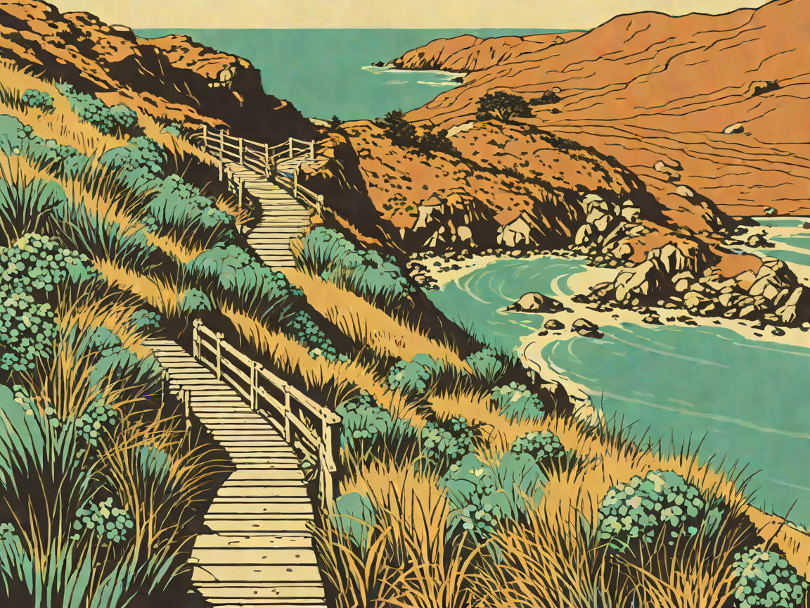
7 Best Hikes & Scenic Walks in Wellington: Ridge Stairways, Cook Strait Cliffs & Seal Colonies
7 Best Hikes & Scenic Walks in Wellington: Ridge Stairways, Cook Strait Cliffs & Seal Colonies
Wellington is the windiest city on earth, and its landscape is completely unapologetic about it. Built on sheer tectonic fault lines, the capital drops straight into a deep natural harbour, ringed by steep ridges clad in regenerating native bush, pine groves, and rugged coastal cliffs battered by the Roaring Forties.
Because the hills press right up against the CBD, you never have to travel far to get your heart rate up. Within ten minutes of stepping out of a Lambton Quay espresso bar, you can be ascending singletracks echoing with the calls of native kākā parrots or traversing exposed cliff ledges 200 metres above the crashing surf of Cook Strait. Here is the local tramper’s guide to the seven best walks and hikes in and around Wellington.
(Looking for specialty roasters, laneways, and craft beer bars after your tramp? Check out our Wellington Travel Guide.)
1. The Escarpment Track (Paekākāriki to Pukerua Bay)
- Distance & Duration: 10.0 km one-way | 3.5–4.5 hours
- Elevation Gain & Difficulty: +400 m cumulative | Strenuous (narrow cliff tracks, over 1,200 steep steps, two swing bridges)
- Trailhead & Transit: Start at Paekākāriki Railway Station and walk south to finish at Pukerua Bay Station (45-minute train ride from Wellington Station on the Kāpiti Line).
- Dog Policy & Facilities: Strictly No Dogs (sheer drops, private farmland, and delicate coastal bird nesting). No toilets or water between stations. Nicknamed the "Stairway to Heaven," this is arguably the North Island's most dramatic coastal day walk. Part of the nationwide Te Araroa Trail, the path hugs the steep cliffs of the Kāpiti Coast high above State Highway 59 and the railway line. You’ll climb narrow staircases pinned directly to the rock face and cross two bouncy suspension bridges suspended over deep gorges. The views across the sparkling Tasman Sea to Kāpiti Island and, on crystal-clear days, the snow-capped Kaikōura Ranges across Cook Strait, are jaw-dropping.
Local Trail Tip: Hike from North to South (Paekākāriki to Pukerua Bay). This direction puts the prevailing northerly wind at your back rather than in your face and saves your knees from the steepest downhill stair sections. Avoid this track in severe gales—gusts here routinely exceed 90 km/h.
2. Red Rocks Coastal Walk (Pariwhero to Sinclair Head)
- Distance & Duration: 7.4 km return | 2–2.5 hours
- Elevation Gain & Difficulty: Flat | Easy (pebble, sand, and 4WD gravel road)
- Trailhead & Parking: Te Kopahou Visitor Centre car park, Owhiro Bay (end of Owhiro Bay Parade).
- Dog Policy & Facilities: Dogs permitted on leash. Toilets and drinking water available at the Te Kopahou Visitor Centre. A wild, desolate, and windswept tramp along Wellington's rugged South Coast. The trail follows the coastline past jagged cliffs of reddish-brown argillite rock—formed 220 million years ago by undersea volcanic eruptions—before reaching the rocky headland of Sinclair Head (Rimurapa). Between May and October, Sinclair Head becomes an active winter haul-out colony for bachelor New Zealand fur seals (kekeno).
Local Trail Tip: Keep a minimum distance of at least 20 metres from all seals. Never get between a seal and the open sea, and never let dogs off leash. Note that the 4WD coastal track is closed to private vehicles on Sundays, making it much more peaceful for walkers.
3. Mount Victoria (Matairangi) Summit & Lookout Loop
- Distance & Duration: 4.6 km loop | 1.5 hours
- Elevation Gain & Difficulty: +196 m | Easy to Moderate (graded paths with some steep bush shortcuts)
- Trailhead & Parking: Courtenay Place / Majoribanks Street entrance, or park directly at the summit car park.
- Dog Policy & Facilities: Dogs on leash permitted. Public toilets at the summit lookout. The quintessential Wellington introduction. Rising directly east of the city centre, Mount Victoria offers an unrivaled 360-degree vantage point: look down at the high-rises of the CBD, watch commercial jets landing on the narrow runway across Lyall Bay, and gaze across the harbour entrance toward Eastbourne. The forested trail winds through pine plantations (where scenes for The Lord of the Rings were filmed) and native bush regenerating through community trapping efforts.
Local Trail Tip: Skip the busy midday crowd and head up 30 minutes before sunrise. You’ll catch the early light illuminating Wellington Harbour as the Interislander ferries glide silently through the heads.
4. Te Ahumairangi Hill (Tinakori Hill) Ridgeline Path
- Distance & Duration: 4.0 km loop | 1–1.5 hours
- Elevation Gain & Difficulty: +170 m | Easy to Moderate (well-maintained gravel tracks)
- Trailhead & Parking: Stinger Lookout car park (Orangi Kaupapa Road) or walk up via the Wellington Botanic Garden.
- Dog Policy & Facilities: Dogs allowed on leash. Picnic tables and lookouts at northern and southern vantage points. Flanking the western border of the city above Thorndon, Te Ahumairangi Hill is a quieter, heavily wooded alternative to Mount Victoria. Because it borders the predator-free perimeter of Zealandia Ecosanctuary, the canopy here is teeming with native birdlife. You are almost guaranteed to hear the boisterous squawks of kākā parrots, see tūī dive-bombing through the eucalyptus canopy, and spot tiny pīwakawaka fluttering around your shoulders.
Local Trail Tip: Combine this hike with a stroll through the Wellington Botanic Garden and the heritage rose gardens. Take the iconic Wellington Cable Car from Lambton Quay up to Kelburn to start your walk with zero uphill slog.
5. Makara Peak & Skyline Walkway Section
- Distance & Duration: 6.0 km return (or full 12 km Skyline traverse to Mt Kaukau) | 2–3 hours
- Elevation Gain & Difficulty: +310 m | Moderate (exposed ridgelines, loose rock, steady gradient)
- Trailhead & Parking: Makara Peak Mountain Bike Park main car park (South Karori Road).
- Dog Policy & Facilities: Dogs strictly prohibited on conservation land. Bike wash, tool station, and toilets at base. Makara Peak is world-famous among mountain bikers, but its summit walking tracks are equally rewarding for trampers. As you climb out of the lush Karori stream basin through 250 hectares of restored native bush, the trees give way to windswept tussock ridgelines. At the summit (412 m), you'll stand beneath the giant spinning blades of the West Wind wind farm, looking across the turbulent waters of Cook Strait to the South Island's Kaikōura Mountains.
Local Trail Tip: This ridgeline takes the full brunt of westerly storms. If the forecast predicts winds over 40 km/h, secure all hats, wear tight-fitting eye protection, and pack a heavy-duty windproof jacket.
6. Polhill Reserve to Brooklyn Windmill (Te Hāhu o Tāwhirimātea)
- Distance & Duration: 5.5 km return | 2 hours
- Elevation Gain & Difficulty: +260 m | Moderate (steady winding climb through regenerating native forest)
- Trailhead & Parking: Aro Street entrance (Aro Valley) or Holloway Road.
- Dog Policy & Facilities: Dogs allowed on leash. No facilities on track; cafes available at Aro Valley village. Starting right in the bohemian heart of Aro Valley, this track climbs through Polhill Reserve—one of Wellington's greatest conservation success stories. Due to decades of predator control by passionate local volunteers, this valley acts as a thriving wildlife corridor for birds leaving nearby Zealandia. You’ll climb alongside the stream, switchbacking through dense fern gullies before emerging onto the open grassy heights of the Brooklyn Windmill lookout.
Local Trail Tip: When you finish back at the base on Aro Street, drop into Garage Project's original taproom or Aro Bake for a post-hike craft brew or an artisan sourdough pastry.
7. Pencarrow Head Lighthouse & Lake Kohangapiripiri Track
- Distance & Duration: 14.0 km return (flat coastal gravel road) | 3.5–4 hours walk (or 1.5 hours by hire bike)
- Elevation Gain & Difficulty: Flat with one short steep climb to the upper lighthouse | Easy
- Trailhead & Parking: Burdan’s Gate car park (end of Muritai Road, Eastbourne).
- Dog Policy & Facilities: Dogs on leash permitted along the main road. No dogs near the scientific lakes reserve. Located across the harbour on the wild Eastbourne coastline, this trail takes you to New Zealand's first permanent lighthouse, erected in 1859 and famously operated by the country’s only female lighthouse keeper, Mary Jane Bennett. The gravel coastal road skirts the rocky shoreline where crashing southerly swells batter the beach. A short, steep 10-minute spur path climbs to the historic iron lighthouse high on the bluffs, commanding panoramic vistas of the harbour entrance, Barrett Reef, and the open Pacific.
Local Trail Tip: You can hire mountain bikes and e-bikes from the kiosk at Burdan’s Gate on weekends. Cycling this 14 km coastal track saves time and lets you easily explore the detour loop around freshwater Lake Kohangapiripiri.
🌬️ Wellington Trail Safety & Local Tramper Rules
- The Wellington Wind Factor: Always check MetService for wind gusts before attempting exposed coastal or ridgeline tracks (Escarpment, Makara, Skyline). If a southerly gale is blowing, stay low in sheltered forest tracks like Polhill or the Botanic Gardens.
- Layering is Non-Negotiable: Wellington’s weather can flip from baking 22°C sunshine to a freezing 10°C Antarctic drizzle within twenty minutes. Always carry a thermal base layer and a seam-sealed waterproof jacket.
- Wildlife Respect: When walking near seal colonies (Red Rocks, Sinclair Head), keep dogs strictly leashed and maintain at least 20 metres of clearance. Seals can move surprisingly fast across pebbled beaches when startled.
Before You Hit the Trail: Wellington Trail Answers
Can I do these hikes without a rental car?
Yes! Wellington is one of the most transit-friendly cities in Australasia for hikers. Mount Victoria, Te Ahumairangi, and Polhill Reserve are easily walkable directly from the CBD or accessible via Metlink city buses. The Escarpment Track is designed specifically to be walked between two suburban rail stations (Paekākāriki and Pukerua Bay).
Are Wellington's trails suitable for trail running?
Wellington has one of the most vibrant trail running communities in the country. Tracks like Polhill Reserve, Mount Victoria, and the Skyline Walkway are exceptionally well-graded and marked for trail runners. Wear shoes with moderate trail grip for gravel and clay.
When is the best season for hiking around Cook Strait?
Late summer and autumn (January through April) offer the most settled weather, lowest rainfall, and calmest wind days. Winter (June to August) brings crisp, crystal-clear days with stunning views of snowy South Island peaks, but requires warm layers and wind protection.