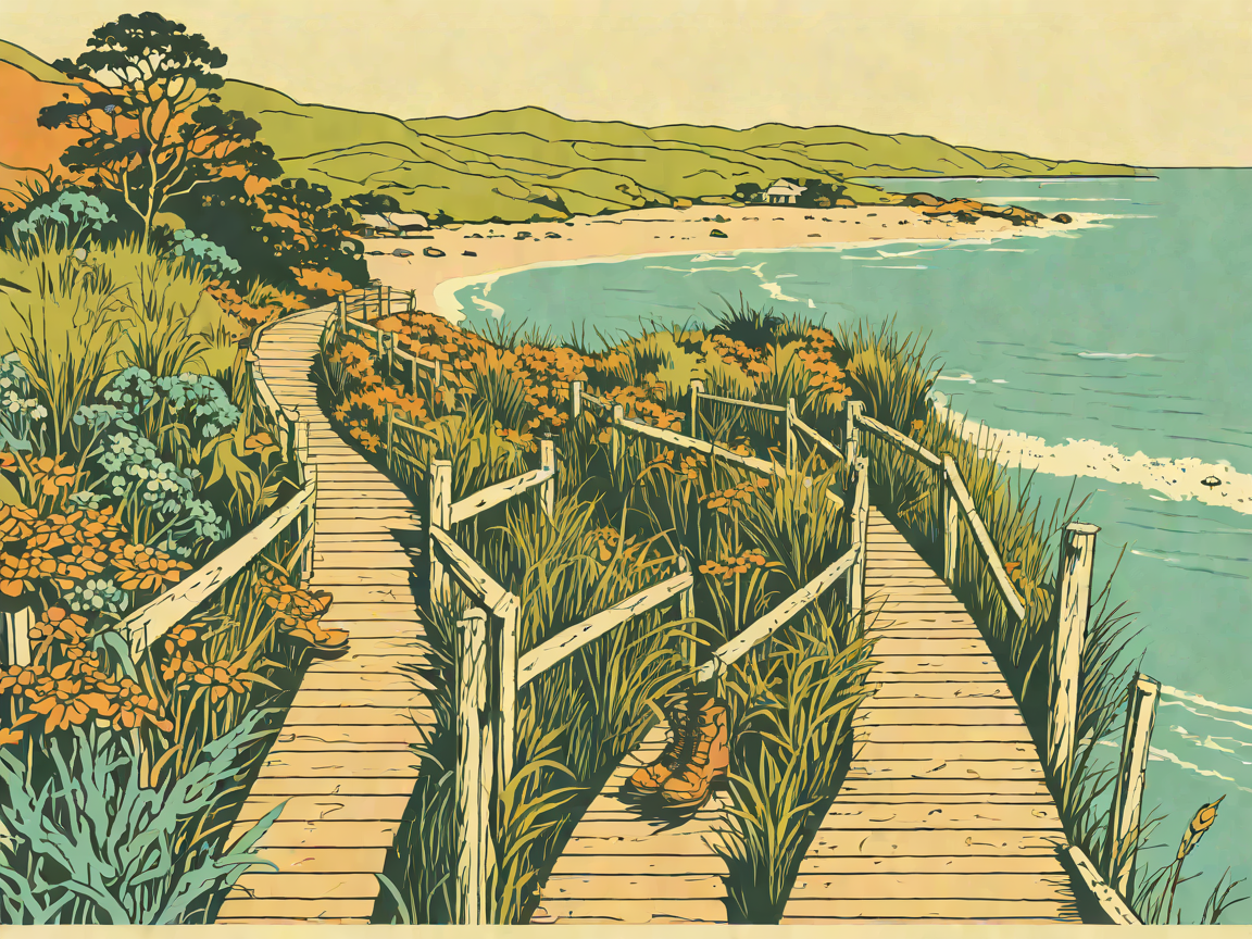
6 Best Hikes & Scenic Walks in Invercargill & Bluff: Southern Headlands & Wild Estuaries
6 Best Hikes & Scenic Walks in Invercargill & Bluff: Southern Headlands & Wild Estuaries
At the absolute southern tip of New Zealand’s South Island (Murihiku), Invercargill (Waihōpai) and the historic maritime seaport of Bluff (Motupōhue) offer some of the most windswept, atmospheric, and untamed coastal walking in the country.
Here, the roaring Southern Ocean and turbulent Foveaux Strait smash against ancient granitic headlands, wind-sculpted tōtara forests lean inland at extreme angles, and endless hard-packed silica beaches stretch towards the horizon. Whether you want to climb Bluff Hill for views across to Stewart Island / Rakiura, stroll through 81 hectares of Victorian botanical gardens, or walk the historic motorcycle sands of Oreti Beach, Southland is pure, unvarnished wilderness. Here is the local tramper’s guide to the six best walks and hikes across Invercargill and Bluff.
(Looking for Bluff oysters, Transport World vintage wheels, and Catlins day trips? Check out our Invercargill Travel Guide.)
1. Bluff Hill (Motupōhue) Summit & Glory Track
- Distance & Duration: 5.5 km loop | 2 hours
- Elevation Gain & Difficulty: +265 m | Moderate (wind-exposed coastal tracks, steep bush steps)
- Trailhead & Parking: Stirling Point car park or Bluff Hill Top car park (Bluff, 25 mins south of Invercargill).
- Dog Policy & Facilities: Dogs on leash permitted on selected tracks. Modern viewing platform and interpretation panels at summit. Motupōhue (Bluff Hill) stands like a solitary granite sentinel over Foveaux Strait. The Glory Track and Top Track climb through wind-bent native coastal forest dense with rimu, miro, and tree ferns before emerging onto the open 265-metre summit crest. The panoramic view from the summit viewing platform is unforgettable: look south across the stormy waters of Foveaux Strait to the jagged blue peaks of Stewart Island / Rakiura, gaze west to Oreti Beach and the Takitimu Mountains, and look down on the bustling commercial oyster fishing wharves of Bluff Harbour.
Local Trail Tip: The summit is battered by raw sub-Antarctic winds. Carry a high-grade windbreaker, thermal beanie, and sunglasses to shield against windblown sea spray.
2. Stirling Point to Foveaux Walkway (Bluff)
- Distance & Duration: 6.0 km return | 1.5–2 hours
- Elevation Gain & Difficulty: Flat to gentle | Easy (well-formed gravel coastal track)
- Trailhead & Parking: Stirling Point car park (end of State Highway 1, Bluff).
- Dog Policy & Facilities: Dogs on leash permitted. Iconic yellow international distance signpost and cafe at Stirling Point. Starting at the famous yellow Stirling Point Signpost—the official southern terminus of State Highway 1 and the nationwide Te Araroa Trail—this track follows the rugged coastline of Bluff Harbour entrance. The trail winds past weathered granitic rock platforms, coastal kelp beds, and historic WWII coastal gun emplacements, with roaring waves crashing against the rocky shore just metres away.
Local Trail Tip: Get your photo with the iconic Stirling Point signpost before you start, then stop for freshly shucked Bluff oysters or a bowl of creamy seafood chowder at Oyster Cove Restaurant right next to the car park when you finish.
3. Queens Park Heritage & Botanical Garden Trails
- Distance & Duration: 4.0 to 6.0 km (customizable pathways) | 1–1.5 hours
- Elevation Gain & Difficulty: Flat | Easy (stroller and wheelchair-accessible sealed paths)
- Trailhead & Parking: Queens Park main entrance (Gala Street / Queens Drive, central Invercargill).
- Dog Policy & Facilities: Dogs allowed on leash. Aviary, animal reserve, Japanese garden, rose garden, cafe, and playgrounds. Spanning 81 magnificent hectares right in the heart of Invercargill, Queens Park is widely considered one of the finest public parks in New Zealand. Designed in the Victorian era, the park features majestic tree-lined avenues of giant English oaks and redwoods, tranquil sunken gardens, an extensive rose garden, an aviary, and a 4-hectare native sub-Antarctic plant trail.
Local Trail Tip: Stop at The Cheeky Llama Cafe located beside the central playground for an artisan coffee and Southland cheese roll after your morning walk.
4. Sandy Point Domain: Daffodil Bay to Hatch’s Hill Walk
- Distance & Duration: 4.5 km loop | 1–1.5 hours
- Elevation Gain & Difficulty: Flat to gentle | Easy (sandy bush tracks and boardwalks)
- Trailhead & Parking: Daffodil Bay car park (Sandy Point Road, 10 mins west of Invercargill).
- Dog Policy & Facilities: Dog-friendly (designated off-leash zones). Picnic tables and toilets. Sandy Point Domain is an ancient 2,000-hectare sand spit situated between the Oreti River and the New River Estuary. The Daffodil Bay track meanders through ancient, wind-sculpted native tōtara and mataī forest growing directly over sand dunes—trees here have grown permanently bent sideways by decades of westerly gales. The trail leads out to tranquil estuary boardwalks and climbs to Hatch’s Hill lookout for sweeping views over the wetlands and river mouth.
Local Trail Tip: Visit in September to see thousands of wild yellow daffodils bloom in the woodland clearing at Daffodil Bay, planted by early European settlers.
5. Omaui Track (Omaui Scenic Reserve)
- Distance & Duration: 2.5 km return | 1 hour
- Elevation Gain & Difficulty: +120 m | Moderate (steady uphill climb through coastal native bush)
- Trailhead & Parking: Omaui Reserve car park (Omaui Road, 20 mins from Invercargill).
- Dog Policy & Facilities: Strictly No Dogs (intensive native bird recovery sanctuary). Omaui is a hidden coastal gem overlooking the entrance to the New River Estuary. The track climbs steadily through dense coastal broadleaf forest alive with native bellbirds (korimako) and tūī, leading to a scenic trig lookout. At the summit platform, you enjoy a panoramic view over the white sands of Oreti Beach, the Omaui coastline, and across Foveaux Strait.
Local Trail Tip: Combine this walk with a stroll along quiet Omaui Beach, where sheltered rocky tidal pools are great for exploring at low tide.
6. Oreti Beach Coastal Walkway
- Distance & Duration: 5.0 to 12.0 km (customizable beach walk) | 1–3 hours
- Elevation Gain & Difficulty: Flat | Easy (firm, flat silica sand at mid-to-low tide)
- Trailhead & Parking: Oreti Beach main entrance car park (Dunns Road, 10 mins from Invercargill).
- Dog Policy & Facilities: Dog-friendly (off-leash paradise). Public restrooms and vehicle wash station. Stretching for 26 continuous kilometres along the roaring Tasman Sea, Oreti Beach is steeped in motorsport and coastal heritage. This vast, flat beach was the famous training ground where legendary Kiwi motorcycle racer Burt Munro tested his modified Indian Scout motorcycle before setting world land-speed records at Bonneville (as immortalized in The World's Fastest Indian). Walking along the water's edge, watching mist rising off the giant rolling surf breaks, is an invigorating Southern experience.
Local Trail Tip: Vehicles are legally permitted to drive onto the hard-packed sand at Oreti Beach. If walking, stick to the firm intertidal zone and watch for oncoming 4WD vehicles.
❄️ Southern Wilderness Safety & Weather Guidelines
- Sub-Antarctic Weather Protection: Southland is exposed to direct southerly polar weather systems. Temperatures can drop precipitously with freezing rain and hail in any month of the year. Always pack thermal layers, gloves, and a windproof/waterproof jacket.
- Wildlife Respect: Southern beaches (Oreti, Omaui, Bluff) are occasionally visited by resting leopard seals and sea lions. Maintain a strict 20-metre distance.
- Check Daylight Hours: In mid-winter (June/July), daylight is short in Southland (sunset before 5:00 PM). In mid-summer (December/January), daylight lasts past 10:00 PM (the Southern Twilight).
Before You Hit the Trail: Invercargill Trail Answers
How far is Bluff from central Invercargill?
Bluff is an easy, flat 25-minute drive (30 km) south of Invercargill along State Highway 1.
Is Queens Park free to enter?
Yes. The entire 81 hectares of Queens Park—including the botanical collections, animal reserve, and aviary—is 100% free to the public every day of the year.
Can I walk to Stewart Island from Bluff?
No, Stewart Island lies 30 km across the stormy waters of Foveaux Strait. However, the passenger ferry departs daily from Bluff Wharf (next to the walking tracks) and takes 1 hour to reach Oban on Stewart Island.