7 Best Hikes & Scenic Walks in Dunedin: Sandstone Canyons, Wild Peninsulas & Basalt Peaks
7 Best Hikes & Scenic Walks in Dunedin: Sandstone Canyons, Wild Peninsulas & Basalt Peaks
Perched along the jagged hills of an ancient drowned volcanic crater and battered by the wild swells of the Southern Ocean, Dunedin (Ōtepoti) is New Zealand’s wildlife capital and one of the country's most dramatic hiking destinations.
Here, rugged Scottish heritage meets untamed coastal wilderness. Within a 20-minute drive from the Octagon, you can descend through a hand-hewn 1870s sandstone sea tunnel to secluded wave-carved headlands, climb across volcanic tussock ridges that feel like the Scottish Highlands, or share deserted white-sand beaches with 300-kilogram New Zealand sea lions.
Here is the local tramper’s guide to the seven best walks and hikes in and around Dunedin.
(Looking for Victorian stone architecture, Emerson’s craft beer, and Otago Peninsula wildlife? Check out our Dunedin Travel Guide.)
1. Tunnel Beach Track
- Distance & Duration: 2.0 km return | 1 hour
- Elevation Gain & Difficulty: +130 m | Moderate (steep, paved track with a calf-burning return climb)
- Trailhead & Parking: Tunnel Beach car park (Tunnel Beach Road, Blackhead, 10 mins south of Dunedin).
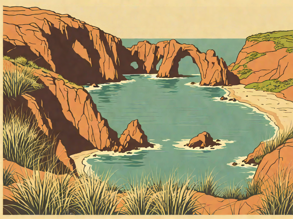
- Dog Policy & Facilities: Strictly No Dogs (private farmland and delicate sea bird nesting). Toilets at car park. One of the most extraordinary geological and historical coastal walks in New Zealand. The track descends steeply across coastal farm paddocks toward sheer, sculpted yellow sandstone headlands battered by roaring Southern Ocean surf. At the cliff edge, you will pass through a 72-step, hand-carved rock tunnel chiselled through the solid sandstone promontory in the 1870s by local politician John Cargill for his daughters. The tunnel emerges into a secluded sea cove flanked by towering sandstone sea arches, caves, and crashing waves.
Local Trail Tip: The downhill walk is easy, but the return ascent is steep and relentless—take your time. Never attempt to swim at Tunnel Beach; the rip currents and ocean undertow here are lethal.
2. Sandymount Track & The Chasm (Otago Peninsula)
- Distance & Duration: 3.5 km loop | 1.5 hours
- Elevation Gain & Difficulty: +140 m | Moderate (coastal sand dunes, cliff tracks, sheep paddocks)
- Trailhead & Parking: End of Sandymount Road (Otago Peninsula).
- Dog Policy & Facilities: Strictly No Dogs (active wildlife area). Sandymount offers the most windswept and awe-inspiring cliff scenery on the Otago Peninsula. The track leads across open tussock pastures to The Chasm and Lover’s Leap—two colossal, sheer-sided geological fissures dropping over 100 metres vertically into the surging ocean below. The loop traverses sweeping sand dunes covered in marram grass, providing breathtaking vistas across Allans Beach and the endless southern Pacific.
Local Trail Tip: Watch for New Zealand sea lions (rāpoka) basking on the sandy track spurs near Sandfly Bay. Maintain a minimum distance of at least 20 metres—sea lions can sprint faster than humans over short distances on sand.
3. Pineapple Track & Flagstaff Summit
- Distance & Duration: 5.0 km return (or 8.0 km traverse to Swampy Summit) | 2–2.5 hours
- Elevation Gain & Difficulty: +310 m | Moderate (well-formed gravel trail, stone steps, exposed alpine ridge)
- Trailhead & Parking: Booth Road car park (Glenleith) or Flagstaff-Whare Flat Road.
- Dog Policy & Facilities: Dogs allowed on leash. This historic trail earned its quirky name in the 1920s when local tramper guide Richard Lawson would reward hikers with tinned pineapple at the top, leaving the empty tins hanging on a fence. Starting through native regenerating bush, the track ascends steadily onto the open, windswept tussock crest of Flagstaff (668 m). From the summit rocky outcrops, you are treated to a sensational 360-degree panorama: the entire Dunedin cityscape, Otago Harbour, and the vast rolling farmland of the Taieri Plains.
Local Trail Tip: The summit ridge is completely exposed to biting Antarctic southerlies. Always pack a thermal beanie, gloves, and a windproof jacket, even on sunny summer mornings.
4. Mount Cargill to The Organ Pipes
- Distance & Duration: 8.5 km return (from Cowan Road) or 2.0 km return to Organ Pipes | 1 hour to Organ Pipes / 3 hours to Summit
- Elevation Gain & Difficulty: +350 m | Moderate (rocky forest path, basalt boulder hopping)
- Trailhead & Parking: Organ Pipes car park (Mount Cargill Road, 15 mins north of Dunedin).
- Dog Policy & Facilities: Dogs allowed on leash. Mount Cargill (676 m) dominates the northern skyline of Dunedin. The primary highlight along the trail is The Organ Pipes—a spectacular geological formation of hexagonal basalt columns formed by cooling volcanic lava millions of years ago, stacked like massive church pipe organs against the hillside. Continuing along the track through dense mountain cedar and podocarp forest, you will reach the summit telecommunications tower for the highest viewpoint over the entire Otago volcanic basin.
Local Trail Tip: Wear boots with stiff soles. Scrambling over the loose volcanic basalt blocks at the base of the Organ Pipes requires careful foot placement.
5. Victory Beach & Okia Reserve Pyramids (Otago Peninsula)
- Distance & Duration: 6.0 km return | 2 hours
- Elevation Gain & Difficulty: Flat | Easy (sandy coastal track and flat dunes)
- Trailhead & Parking: End of Dick Road, Papanui Inlet (Otago Peninsula).
- Dog Policy & Facilities: Strictly No Dogs (yellow-eyed penguin and sea lion sanctuary). Victory Beach is Dunedin’s longest and wildest beach, named after the steamship SS Victory that ran aground here in 1861 (the rusted iron flywheel is still visible at low tide). The trail leads past The Pyramids (Te Matai O Kia)—two bizarre, perfectly geometric natural basalt volcanic mounds rising from the marshlands. The vast, deserted beach is a regular resting spot for Hooker's sea lions and fur seals.
Local Trail Tip: Take the side track between the Big Pyramid and Little Pyramid to visit a historic cave where early Māori artefacts were discovered.
6. Signal Hill & Centennial Memorial Track
- Distance & Duration: 4.0 km return (via walking track from Logan Park) | 1.5 hours
- Elevation Gain & Difficulty: +240 m | Moderate (steep, shaded bush paths)
- Trailhead & Parking: Logan Park Drive, or drive directly to the Signal Hill Lookout car park.
- Dog Policy & Facilities: Dogs allowed on leash. Large monument platform and picnic tables at summit. Signal Hill (393 m) rises on the western flank of Otago Harbour, crowned by the massive bronze Centennial Memorial erected in 1940. While it is famous as a world-class downhill mountain biking destination, the walking trails through the native bush of Logan Park offer a wonderful cardio workout. The summit provides an uninterrupted look straight down the deep channel of Otago Harbour, across to the Otago Peninsula, and out to Taiaroa Head.
Local Trail Tip: Signal Hill is the ultimate sunset vantage point in Dunedin. Watch the evening sun cast golden reflections down the harbour as University of Otago rowers glide across the water below.
7. Dunedin Town Belt & Woodhaugh Gardens Stroll
- Distance & Duration: 3.5 to 8.0 km (customizable urban green belt) | 1–2 hours
- Elevation Gain & Difficulty: Flat to gentle | Easy
- Trailhead & Parking: Woodhaugh Gardens (George Street) or Dunedin Botanic Garden.
- Dog Policy & Facilities: Dog-friendly. Playgrounds, public aviaries, and cafes on site. Dunedin is one of the few Victorian-planned cities in the world to preserve an uninterrupted 500-hectare Town Belt of native forest and parklands curving around the city centre. A walk through Woodhaugh Gardens and the historic Dunedin Botanic Garden (New Zealand’s oldest botanic garden, established in 1863) takes you through ancient native podocarp trees, towering rhododendron dells, and tranquil stream pathways.
Local Trail Tip: Stop at the Botanic Garden Aviary to see rescued native kea and kākā parrots up close, then grab an artisan flat white at the Garden Cafe.
❄️ Dunedin Weather & Coastal Wildlife Safety Rules
- Sea Lion Etiquette: New Zealand sea lions are a protected, recovering species. Maintain at least 20 metres clearance. If a sea lion approaches you, stand your ground, do not scream or run, and slowly back away without turning your back.
- Rapid Antarctic Southerly Fronts: Dunedin's coastal weather can drop from 18°C to 6°C in minutes when a southerly front pushes up from the sub-Antarctic. Always carry windproof and waterproof outer layers.
- Tide Awareness on Peninsula Beaches: Check tide times for Victory Beach and Allans Beach to ensure safe beach walking and to spot the historic shipwreck remnants.
Before You Hit the Trail: Dunedin Trail Answers
Are these hikes accessible without a car?
Signal Hill, the Botanic Garden, and parts of the Town Belt are easily reached on foot or by city bus from the Octagon. However, coastal tracks on the Otago Peninsula (Sandymount, Victory Beach) and Tunnel Beach have no public transit—you will need a rental car or campervan.
Is Tunnel Beach suitable for young children?
The walk down is easy and children love the rock tunnel, but the cliff edges are high and unfenced, and the return climb is very steep. Keep young children within arm's reach at all times.
When is the best season for hiking in Dunedin?
Summer and autumn (December to April) offer the warmest temperatures, longest daylight hours, and most active wildlife viewing along the peninsula.