Christchurch to Queenstown Road Trip: Ultimate Alpine Driving Route via Lake Tekapo & Lindis Pass
Christchurch to Queenstown Road Trip: Ultimate Alpine Driving Route via Lake Tekapo & Lindis Pass
Driving from Christchurch to Queenstown is the classic South Island rite of passage. In a single journey, you transition from the broad, geometric dairy pastures of the Canterbury Plains through the harsh golden tussock of the Mackenzie Basin, climb over a barren 970-metre alpine pass, and wind along turquoise river gorges lined with Central Otago vineyards.
While you could theoretically push through the 485-kilometre direct drive in around six hours, doing so turns a world-class scenic voyage into a blur of asphalt.
Adding the detour up State Highway 80 to the foot of Aoraki Mount Cook expands the trip to roughly 600 kilometres. It transforms the route into an unforgettable two- or three-day alpine expedition.
Here is the battle-tested, stop-by-stop driving guide, including where to grab the South Island’s best pie, where to photograph glowing turquoise glacial waters, and how to safely negotiate the Lindis Pass.
Route Overview & Quick Navigation
Christchurch ──(SH1/SH79 / 140 km)──> Geraldine & Fairlie ──(SH8 / 90 km)──> Lake Tekapo
                                                                                    │
Queenstown <──(SH6 / 60 km)─── Kawarau Gorge <──(SH8 / 135 km)─── Lindis Pass <── Lake Pukaki
                                                                       (Optional Aoraki Detour)
- Direct Distance: 485 km (~6 hours pure driving time).
- Recommended Route with Aoraki Detour: 595 km across 2 to 3 days.
- Key Highways: State Highway 1 to Rangitata, State Highway 79 through Geraldine, State Highway 8 through the Mackenzie Country and Lindis Pass, State Highway 6 from Cromwell to Queenstown.
- Vehicle Fit: Standard 2WD cars, campervans, or SUVs. During winter months (June to September), snow chains must be carried when crossing Lindis Pass.
- Fast EV Charging: High-speed DC chargers are operational in Rolleston, Ashburton, Geraldine, Fairlie, Lake Tekapo, Twizel, Omarama, and Cromwell. Before leaving the Garden City, make sure you explore our insider picks for Christchurch day trips and explore hidden urban corners with Christchurch hidden gems.
Stage 1: Christchurch to the Mackenzie Gateway (140 km / 2 hrs)
Departing Christchurch, SH1 heads southwest across the flat, ruler-straight Canterbury Plains. It is easy driving, but farm traffic and logging trucks can test your patience.
Rather than staying on SH1 all the way to Timaru, turn inland onto State Highway 79 at Rangitata. This scenic shortcut takes you through Geraldine and on toward Fairlie.
Pit Stop 1: Geraldine
Geraldine is a charming rural service town known for artisan food.
- Barker's of Geraldine: Visit the flagship Barker’s Foodstore & Eatery right beside the Waihi River. Sample dozens of locally made berry jams, chutneys, fruit syrups, and condiments at the tasting bar.
- Coffee: Grab a flat white at The Running Duck cafe before getting back on the road.
Mandatory Fuel & Food Halt: Fairlie Bakehouse
As SH79 climbs into the rolling foothills, you reach Fairlie. Stopping at the Fairlie Bakehouse on Main Street is non-negotiable for anyone who appreciates real Kiwi pastry.
- The Order: The legendary Pork Belly with Apple Sauce & Crackling pie. The pastry is laminated to crisp perfection, and there is an actual shard of golden crackling baked into the crust.
- Pro tip: The line routinely stretches out the door at lunchtime. If you want a pie without waiting 20 minutes, arrive before 11:30 am or order online for fast collection.
Stage 2: Entering the Mackenzie Basin to Lake Tekapo (90 km / 1 hr 15 mins)
From Fairlie, SH8 climbs over Burke’s Pass (709 metres). As you crest the summit, the green farm paddocks abruptly vanish. You enter the stark, arid, wind-swept wilderness of the Mackenzie Basin, surrounded by the jagged wall of the Southern Alps.
Stop 2: Lake Tekapo
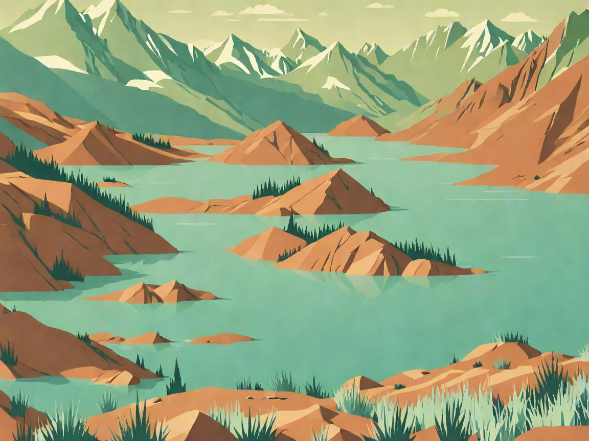
Tekapo’s water is an unnatural, vivid turquoise-milky blue, caused by extremely fine "rock flour"—glacial silt ground down by glaciers and suspended in the water.
- Church of the Good Shepherd: Built in 1935 from local fieldstones, this tiny stone chapel sits right on the lake edge. The altar window frames an uninterrupted view across the lake to the snow-capped Two Thumb Range. (Note: Photography inside the chapel is strictly forbidden to preserve its sanctity).
- Mount John Observatory: Drive up the private toll road ($8 NZD) to the summit of Mount John, home to the University of Canterbury’s astronomical observatory. Walk the 360-degree summit loop and enjoy an artisan coffee at the glass-walled Astro Cafe.
- Dark Sky Reserve: Tekapo sits inside the 4,300-square-kilometre Aoraki Mackenzie International Dark Sky Reserve. If you overnight here, book a stargazing tour at the local hot pools (Tekapo Springs) to float in warm thermal mineral water while looking up at the Milky Way.
Stage 3: Lake Pukaki & The Essential Aoraki Mount Cook Detour (110 km return / 1.5 hrs drive time)
Continuing west on SH8 for 45 km brings you to the southern tip of Lake Pukaki. Pukaki is even larger and more intensely blue than Tekapo. On a clear day, New Zealand’s highest peak, Aoraki Mount Cook (3,724 m), rises majestically at the head of the lake.
The Fish Stop: Mount Cook Alpine Salmon
Right at the Lake Pukaki Information Centre, stop at the Mount Cook Alpine Salmon shop. These King salmon are raised in the rapid, glacial currents of the local hydro canals. Purchase a tray of fresh sashimi with soy sauce and wasabi, and eat it sitting on the lakeshore boulders facing the mountains.
The Side Trip: Highway 80 to Mount Cook Village (55 km each way)
If your schedule allows half a day, do not skip this detour. State Highway 80 hugs the western shoreline of Lake Pukaki all the way into the heart of Mount Cook National Park. It is widely considered one of the most cinematic stretches of road on the planet.
- The Hike to Do: Hooker Valley Track: An easy, mostly flat 10 km return walk (allow 3 hours). It crosses three sturdy suspension swing bridges over roaring glacial rivers, terminating at the iceberg-strewn Hooker Lake right beneath the south face of Aoraki.
- Campervan Stay: If travelling by campervan, spend the night at White Horse Hill Campground at the end of the road. Waking up to dawn light hitting the hanging glaciers of Mount Sefton is unforgettable.
Stage 4: Omarama to Lindis Pass (115 km / 1 hr 30 mins)
Back on State Highway 8 heading south, you pass Twizel and reach Ōmarama.
- The Clay Cliffs: Just 10 km west of Ōmarama down a gravel road sits an otherworldly collection of towering silt and gravel pinnacles carved out by ancient glacial melting. Entry is by gold-coin donation at the farm gate.
- Omarama Hot Tubs: Private cedar hot tubs filled with fresh mountain water and heated by wood fires, set among tall tussock grasses.
Conquering Lindis Pass (971 m)
Between Omarama and Tarras lies the Lindis Pass—the highest point on the South Island’s state highway network that remains open year-round.
- The Scenery: Unlike the jagged green mountains of Fiordland, the Lindis Pass features gigantic, velvety brown and golden tussock hills that look like crumpled bronze silk in late afternoon light.
- Driving Tips: The pass features long, sweeping 80 km/h and 100 km/h bends with dedicated passing lanes. Watch your speed when descending the southern side toward Tarras. In midwinter, shaded corners freeze solid with black ice; slow down and avoid sudden braking.
- Lookout Point: Pull into the summit carpark (at 971 metres) for a short 5-minute walk up wooden stairs to a panoramic viewing platform overlooking the highway ribbon below.
Stage 5: Central Otago Orchards & Kawarau Gorge to Queenstown (110 km / 1 hr 30 mins)
Descending from the Lindis Pass, you cross into Central Otago.
Cromwell & Old Cromwell Town
Located at the junction of the Clutha and Kawarau Rivers, Cromwell is New Zealand's stone fruit capital.
- Fruit Stalls: Stop at Mrs Jones Fruit Orchard on the highway edge for fresh summer cherries, apricots, nectarines, and real-fruit soft-serve ice cream.
- Old Cromwell Town: When Lake Dunstan was filled in 1990 for the Clyde Dam project, parts of the original 1860s gold-rush township were moved stone-by-stone to higher ground. Explore historic stone cottages, local potteries, and artisan cafes along the lake edge.
The Kawarau Gorge & Wine Country (SH6)
Leaving Cromwell, SH6 enters the dramatic, narrow Kawarau Gorge. The turquoise Kawarau River rushes through vertical schist rock walls.
- Kawarau Bridge Bungy: Stop at the historic 1880 suspension bridge. This is the birthplace of commercial bungy jumping, operated by AJ Hackett since 1988. Watching nervous jumpers leap 43 metres toward the swirling river is free entertainment from the viewing platforms.
- Gibbston Valley: As the gorge opens out, you enter the "Valley of the Vines." Stop at cellar doors like Peregrine Wines or Gibbston Valley Winery to taste world-renowned Central Otago Pinot Noir. Passing Frankton and the Queenstown Airport, Lake Wakatipu opens out before you, marking the end of the journey. Once you have settled in, check out our recommended Queenstown day trips and uncover hidden local spots with our guide to Queenstown secret spots.
Driving Distances & Waypoint Schedule
| Segment | Distance | Wheel Time | Highlights |
|---|---|---|---|
| Christchurch to Fairlie | 185 km | 2 hrs 15 mins | Canterbury Plains, Fairlie Bakehouse pies |
| Fairlie to Lake Tekapo | 42 km | 35 mins | Burkes Pass, Church of the Good Shepherd |
| Lake Tekapo to Lake Pukaki | 48 km | 35 mins | Hydro canals, Mount Cook Alpine Salmon |
| (Optional) Lake Pukaki to Mount Cook | 55 km | 45 mins | SH80, Hooker Valley Track, Mueller Glacier |
| Lake Pukaki to Omarama | 42 km | 30 mins | Clay Cliffs, open basin flats |
| Omarama to Cromwell | 112 km | 1 hr 20 mins | Lindis Pass summit (971 m), stone fruit orchards |
| Cromwell to Queenstown CBD | 60 km | 50 mins | Kawarau Gorge, Gibbston wineries |
Practical Road Trip Driving Queries Answered
How long should I take to do this drive?
While it is physically possible to complete the 485 km direct trip in a single 7-hour driving day, we strongly advise against it. Spend at least one night in Lake Tekapo or Mount Cook Village. This gives you time to do the Hooker Valley hike, see the stars in the Dark Sky Reserve, and avoid arriving in Queenstown exhausted.
Is the road suitable for large motorhomes and campervans?
Yes. The entire highway (SH1, SH79, SH8, SH80, and SH6) is fully sealed, wide, and well-graded. Lindis Pass has gentle gradients that modern campervans climb easily. Take extra care in the Kawarau Gorge where crosswinds and narrow bridge approaches require attentiveness.
What are the winter driving conditions like?
Between late May and September, snow and ice can impact Burke’s Pass and Lindis Pass. Highway road contractors apply calcium magnesium acetate (CMA) anti-icing liquid, but freezing fog and black ice are real risks. Always check the NZTA Journey Planner before setting out from Christchurch, carry properly sized snow chains in your boot, and travel between 9:00 am and 4:00 pm when road surface temperatures are highest.